Molokai Photo Tours – Aerials From Around The Island
Molokai Photo Tours – 01 – Aerials East To Mile 16
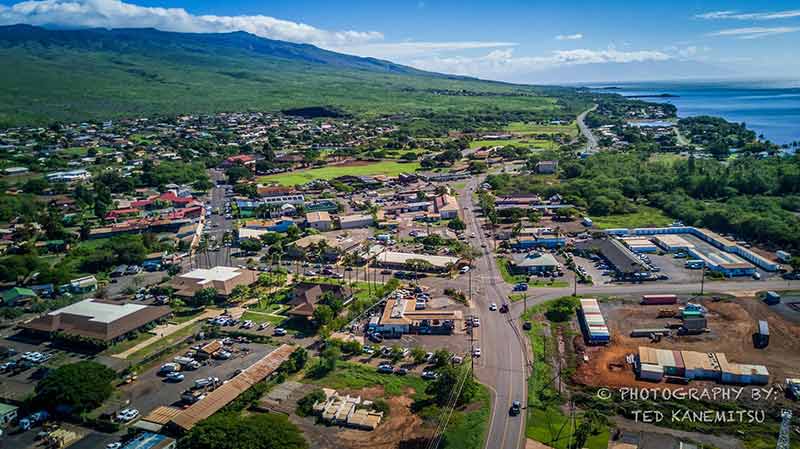
Over the last couple of years, Ted Kenemitsu our drone pilot and a Crackerjack photographer, has posted on our Facebook page, random views from all over Molokai. They've been [...]
Molokai Photo Tours – 02 – Aerials East Mile 17 To Halawa
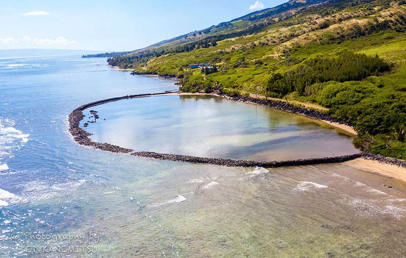
At about mile 20 is Kahinapohaku Fish Pond. It was breached in the 1860s and destroyed shortly after. A group of local Hawaiians rebuilt it in the late 1990s [...]
Molokai Photo Tours – 03 – Aerials North Shore Sea Cliffs
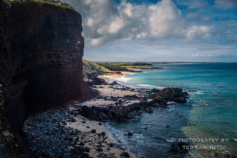
The world's highest sea cliffs (pali) dominate the north shore of Molokai from the eastern tip of the island to a few miles west of the Makanalua Peninsula (Kalaupapa). [...]
Molokai Photo Tours – 04 – Aerials West Shore & Beaches
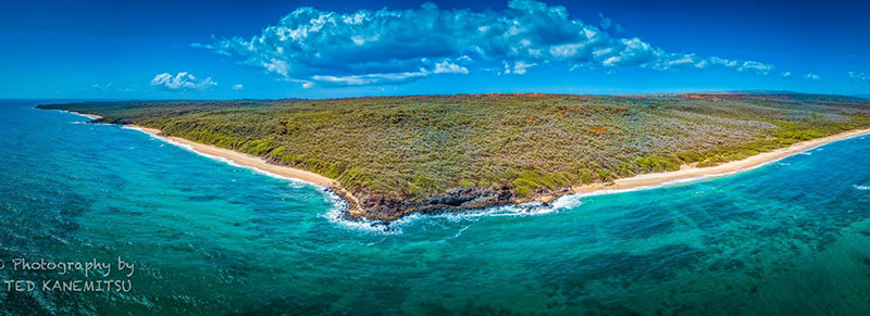
Pohakumauliuli. The Dark Rock. These are the beaches just north of the Kaluakoi resorts. Locally known as Make Horse (Mah Kay - dead in Hawaiian). Based on local legend, [...]
Molokai Photo Tours – 05 – Aerials Southwest Beaches & Hale O Lono
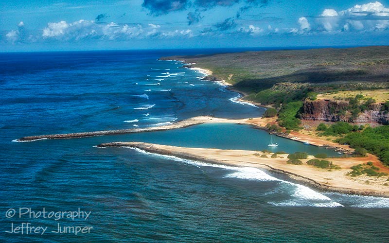
Hale O Lono Harbor. Looking west to La'au Point with Hale O Lono, Kanalukaha, Kapukawahine and Kahalepohaku Beaches in Between. In ancient times there was a heiau here, dedicated [...]

