Over the last couple of years, Ted Kenemitsu our drone pilot and a Crackerjack photographer, has posted on our Facebook page, random views from all over Molokai.
They’ve been posted, more or less, as they were shot, which makes for a kapakahi (mixed up) presentation. So, we are presenting a few of them geographically so visitors can have a better understanding locations.
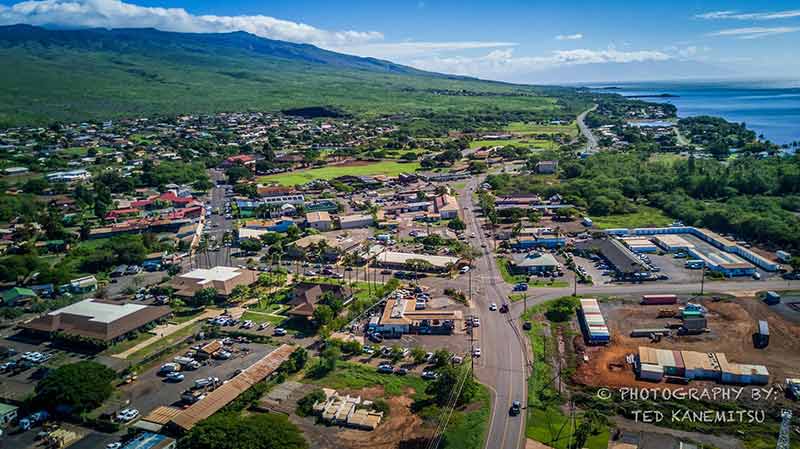
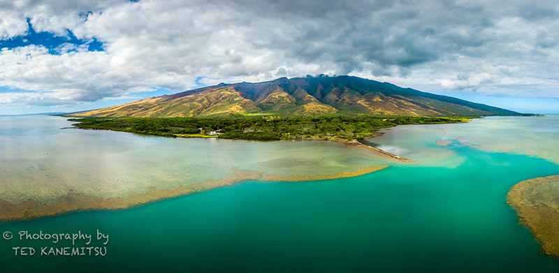
The first photo encompasses most of Kaunakakai, looking east. The intersection near the photo’s center is Mile Zero Highway-wise it is the center of the island, with Highway 450 heading east twenty seven miles to Halawa Valley and Highway 460 heading west from here to mile 17 at Maunaloa.
Going to the right is the road to the Kaunakakai Wharf, aptly named Wharf Road. Turn left at this intersection onto Ala Malama Street, the main business street in town. Within this three-block range will be found 3 banks two groceries, the US Post Office, various shops, offices, the bakery and both of the island’s only gas stations.
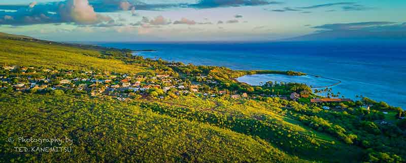
Just east of the 1 mile marker is the Kamiloloa Heights residential area, which overlooks Kalokoeli Fish Pond and the red-roofed Molokai Shores condominiums.
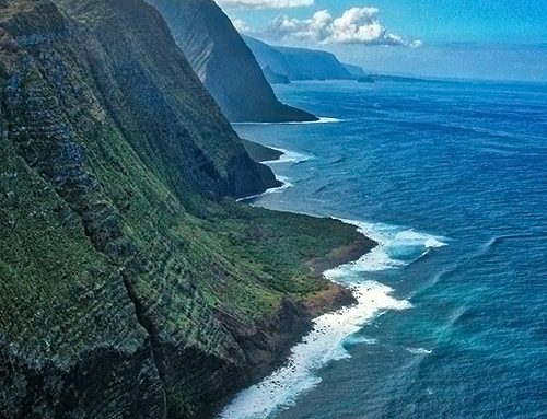
On the right, across the Pailolo Channel, is the island of Lanai. On a clear day the view straight down the channel would include Maui and Kaho’olawe.
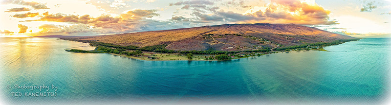
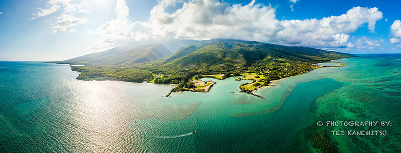
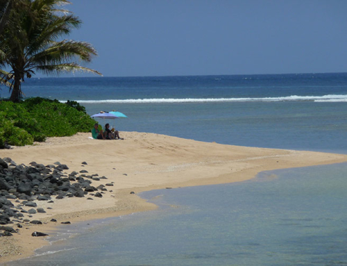
About 3 1/2 miles east of town is One Ali’i Beach Park, the green area along the beach just to the left of photo center.
One of only three places to camp on the island, there is a pavilion, luas and showers and playground equipment for the keikis.
The beach is great for strolling and shelling, but while the water is safe surf-wise, it is not the best for swimming.
You can see the three roads going up the mountain in the Kawela Plantations residential area
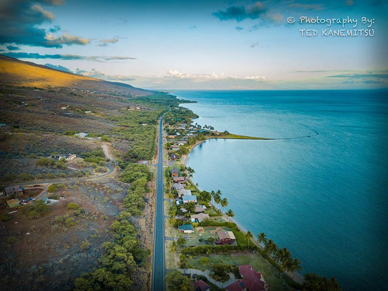
Near the point of land on the makai side is Kanoa Beach at mile marker 4. On the mauka side, roads can be seen going up to Kawela Plantations III and II.
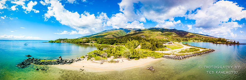
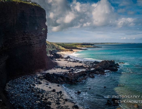
Built before 1860 the wharf at Kamalo was used to load sugar, honey, taro and other commodities onto ships bound for other islands.
The remnants today are still popular with fishermen and photographers.

Directly mauka from the Kamalo wharf, are the waterfalls of Kamalo Gultch. Sometimes referred to as The Seven Sisters, because during times of steady rain on Kamakou Mountain as many as seven falls can be seen flowing at once.
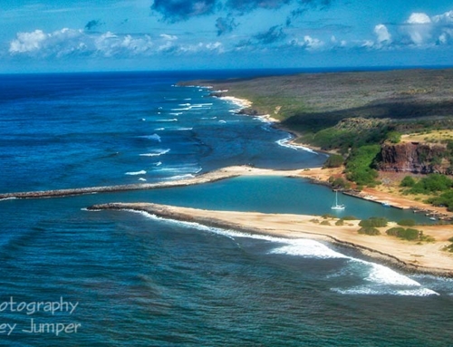
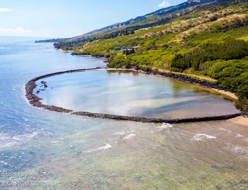
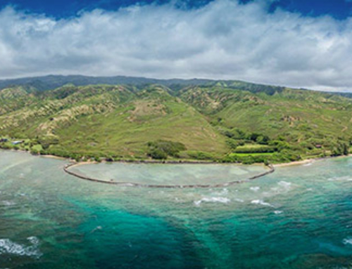
Between the 1840s and 1920s, Puko’o, at mile 16, was a busy harbor with a wharf and loading area used to export goods from what was then the population center of Molokai. After the wharf at Kaunakakai was established in the 1920s, the harbor at Puko’o fell into disuse.
The property changed hands a couple of times and in the early 1960s the owner had the harbor dredged in a cloverleaf shape in anticipation of creating a resort hotel destination. However, concerned community groups successfully lobbied against the development and no construction ever occurred.
The public right of way at Puko’o provides access to this secluded, small beach on the west side of the cloverleaf harbor.
The Molokai aerials are simply wonderful and so interesting to see the shoreline from that perspective. Thank you so much for sharing your talent with us.